Data1 min read
Building a real Iowa township from public data
Why our first map is Sherman Township, Story County, Iowa, and how lidar, soil surveys and the old survey grid turned into a playable farm map.
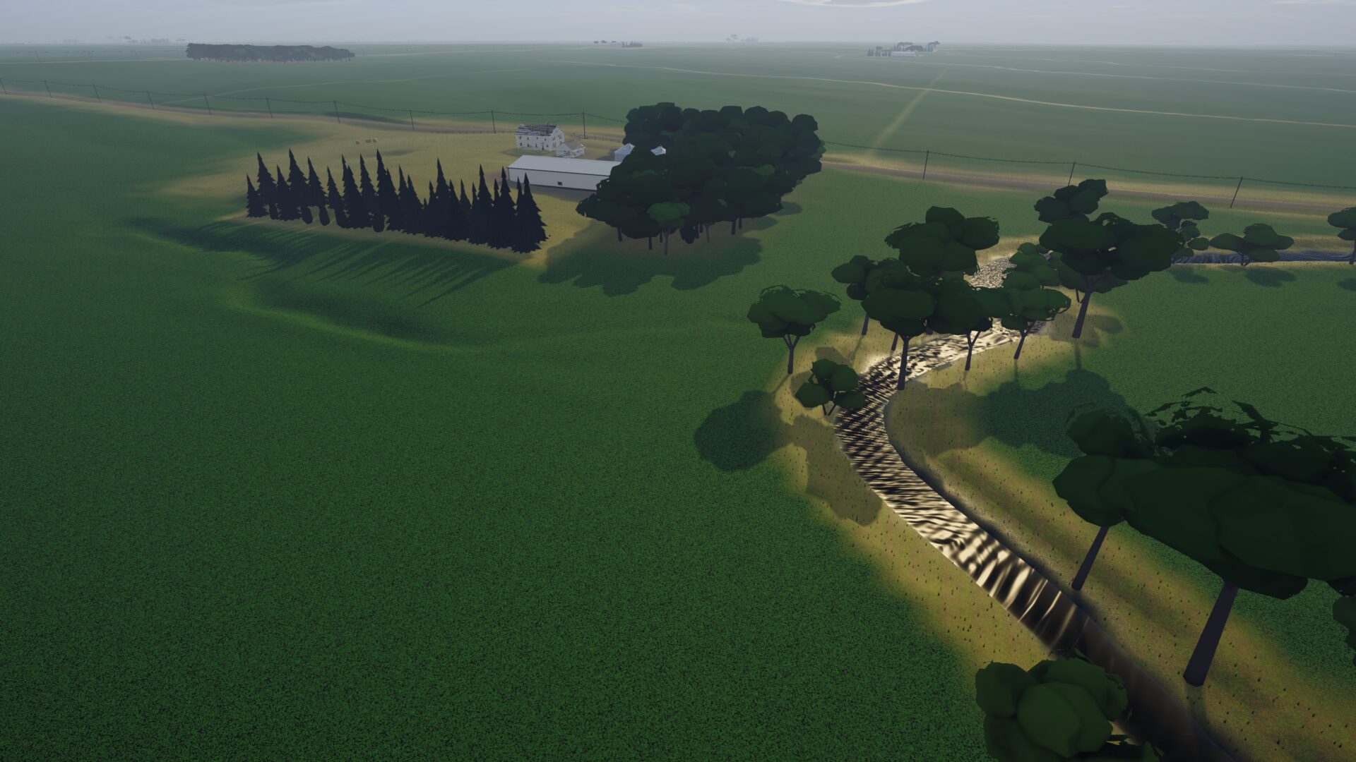
Most farming games invent their land. We wanted ours to be somewhere you could drive to. So the first map in Gentleman Farmer is Sherman Township, in Story County, Iowa: six miles by six miles of central Iowa prairie-pothole country, cut into squares by the one-mile road grid.
Terrain from lidar
The ground comes from USGS 3DEP lidar elevation. At farm scale the land looks flat, but it is not: every swale, terrace and creek bank changes where water sits after a storm and how fast a field dries in spring. Those small differences matter in the game.
Soils that matter
Each field's soil comes from the USDA SSURGO soil survey, including the CSR2 productivity rating Iowa farmers and land buyers use. A well-drained loam on the rise does not farm like the heavy, poorly drained soil in the low spot, and the land market prices that in.
Roads, sections and streams
The PLSS survey grid gives the sections and quarter-sections, Census TIGER gives the gravel and paved roads, and the National Hydrography Dataset gives the creeks. Farmsteads, shelterbelts and yard lights sit where a farm would put them.
The rule we set ourselves was simple: no gameplay system gets built until the map is right. It took a while. It was worth it.
Get the next note from the farm
A short email when there is a new devlog post, and the day Early Access opens.
We'll only email you about Gentleman Farmer. Unsubscribe any time.